English counties on the West (Lancashire) and East (Lincolnshire) coasts, via landlocked Midlands Leicestershire.
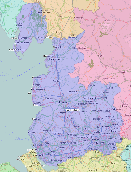
Lancashire is the third and last of the Palatine counties in Speed’s atlas, after Cheshire and Durham, and one of the most changed. His Tudor map extends to the detached peninsulas of Furness and Cartmel, ceded to the creation of Cumbria in 1974.
Speed shows a plan of Lancaster, but Liverpool and Manchester remain small market towns. The mosses, marshes and mudflats along the coast, and along the river Irwell, were already being drained, although Chat Moss was still proving a challenge to the 19th century engineers constructing the Liverpool to Manchester railway.
Special Collections is – unsurprisingly – rich in Lancashire sources, many from the collection of Thomas Glazebrook Rylands (1818-1900), a Warrington worthy. Rylands owned the latest (1869) edition of the Portfolio of fragments by Matthew Gregson (1749-1824), edited by John Harland (1806-1868) of the Manchester Guardian, and the 1836 edition of the History of the County Palatine and Duchy of Lancaster by Edward Baines (1774-1848), which Harland was revising when he died. The busy Guardian journalist’s Lancashire folk-lore (1867) is also in the Rylands collection – as is a small volume of 15th century texts from Harland’s own library.
Leo Hartley Grindon (1818-1904) begins his illustrated Lancashire (1882) with ‘Leading characteristics of the county’ such as “the most vigorous and persistent struggles made in this country for civil and political liberty and the amendment of unjust laws”. A self-taught naturalist, he is better known for botanical works, including the Manchester Flora (1859)
Edwin Waugh of Rochdale (1817–1890) wrote and performed popular songs and poetry in Lancashire dialect, but in a more sentimental Victorian style than the raucous satire of John Collier (1708–1786) or ‘Tim Bobbin’. A volume donated from the Rathbone family library at Greenbank, Liverpool includes both The miscellaneous works of Tim Bobbin (1820) and Plebeian politics or The principles and practices of certain mole-eyed maniacs vulgarly called warrites by way of dialogue betwixt two Lancashire clowns together with several fugitive pieces by Tim Bobbin, the second (the radical Robert Walker).
The Rathbone Papers include a Victorian visiting card album (RP XXIIA.1.5) which has a neat empty space labelled ‘Paul Cuffee’. This was the Black sea captain and shipowner Paul Cuffe (1759-1817) whose brig Traveller arrived in Liverpool July 11, 1811: the first entirely Black-owned and crewed vessel to visit a port previously so entrenched in the slave trade and which continued to ship cotton from the slave states of the American South for the Lancashire cotton industry. The Liverpool Mercury published A memoir of Paul Cuffee, a man of color (1811), collected by Liverpool surgeon Thomas Dawson for his volumes of Liverpool pamphlets donated to Special Collections by a later shipowner, John W. Hughes.
We leave Lancashire via children’s books: The Manchester Guardian pictorial geography of Lancashire: a text-book for use in schools (1936) and a last word from Leo Grindon, “Lancashire is not a county to be disposed of so briefly”.
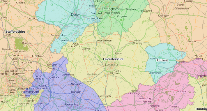
Leicestershire in Speed’s atlas is strongly associated with Richard III: the map marks ‘King Richards feild’ at Bosworth, and gives an account of his death in 1485 and his grave, “obscure overgrown with nettles and weeds” at the “ruinated” Greyfriars marked on the town plan of Leicester. William Burton (1575-1645), a contemporary of Speed’s, also used Saxton’s maps in his Description of Leicester Shire (1622). Less well-known than his younger brother Robert, author of The Anatomy of melancholy, William’s work endured well enough for a second edition more than 150 years later, and to be used in the multi-volume, millions-of-words History and antiquities of the county of Leicester (1795-1815) printed – like most early 19th century county histories – at the press of the Bowyer and Nichols families.
On a smaller scale, and looking at quite different aspects of the county, Edward Mammatt published A collection of geological facts and practical observations, intended to elucidate the formation of the Ashby coal-field, in the parish of Ashby-de-la-Zouch and the neighbouring district … Illustrated by a map and profiles, coloured sections of the stratification, and 102 plates of vegetable fossils, after drawings taken from nature, by Robert Ironmonger in 1834. And David Weston (1935-2011) the Leicestershire artist of industry – especially railways – illustrated Brian Bailey’s 1973 Prospect of Leicestershire.
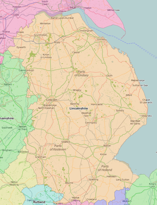
Speed’s map of Lincolnshire shows a very watery county, with its long coastline and many rivers – the fens to the south remaining as yet undrained – but he declares its climate “very moderate and pleasing”. The county was divided into ridings, and the ridings into wapentakes rather than hundreds, as clearly marked on the map, together with a plan of Lincoln – surrounded by windmills.
Later drainage projects were part of the several surveys for the Board of Agriculture’s General Views: by Thomas Stone, whose 1794 report was completely ignored by Arthur Young in his survey of 1799, which Stone damningly reviewed in 1800, not least because Young had never visited several of the places he described: the map of Fen country drainage, for example, gives much more information than Young’s accompanying text. Water of a different kind was welcomed at Woodhall Spa, renowned for its curative “bromo-iodine waters” by its Victorian medical officer, Cyril John Williams. Another Lincolnshire Victorian, Reverend George Hall, the ‘Gypsies’ Parson’, grew up alongside local Gypsy families, and made a lifetime’s study of Romani and Gypsy family histories, as recorded in his papers in the Gypsy Lore Society Archive.
Special Collections classmarks of items cited:
Lancashire:
- Thomas Talbot Bury (1811-1877), Coloured views on the Liverpool and Manchester railway, with plates of the coaches, machines, &c., from drawings made on the spot (1831): SPEC Y83.5.75
- Edward Baines (1774-1848), History, directory, and gazetteer, of the County Palatine of Lancaster; with a variety of commercial & statistical information…. Illustrated by maps and plans (1824-1825): SPEC Y82.3.157
- Edward Baines (1774-1848), History of the County Palatine and Duchy of Lancaster; the biographical department by W. R. Whatton (1836): SPEC Ryl.B.1.13-17/oversize v.1-5
- Matthew Gregson (1749-1824), Proof impressions of the engravings on wood, which illustrate the fragments of the history of Lancashire (1816): SPEC L90.5/Oversize
- Matthew Gregson (1749-1824), Portfolio of fragments, relative to the history & antiquities of the County Palatine & Duchy of Lancaster (1817): SPEC Y81.5.2
- Matthew Gregson (1749-1824), Portfolio of fragments relative to the history and antiquities, topography and genealogies of the county palatine and duchy of Lancaster. 3rd edition, with additions and improvements … general index and … special index to the coats of arms; edited by John Harland (1869): SPEC Ryl.B.1.01 /folio case
- John Harland (1808-1868), Lancashire folk-lore (1867): SPEC Ryl.B.3.08; SPEC Inc.Ryl.17 (1-4)
- Leo Hartley Grindon (1818-1904), Lancashire: brief historical and descriptive notes. With fourteen etchings and numerous vignettes (1882): SPEC L12.15/oversize
- Leo Hartley Grindon (1818-1904), Manchester flora (1859): SPEC Y85.3.181
- Tim Bobbin (John Collier, 1708-1786), The miscellaneous works of Tim Bobbin (1820): SPEC H77.23
- Plebeian politics or The principles and practices of certain mole-eyed maniacs vulgarly called warrites by way of dialogue betwixt two Lancashire clowns together with several fugitive pieces by Tim Bobbin, the second (1818): SPEC H77.23
- Memoir of Captain Paul Cuffee, a man of color; written expressly for, and originally printed in, the Liverpool Mercury (1811): SPEC G35.13(06)
- The Manchester Guardian pictorial geography of Lancashire: a text-book for use in schools / specially prepared by the staff of the Manchester Guardian commercial (1936): JUV.1635
Leicestershire
- William Burton (1575-1645), The description of Leicester shire, containing matters of antiquitye, historye, armorye, and genealogy (1622): SPEC Ryl.B.2.20
- John Bowyer Nichols (1779-1863), The history and antiquities of the county of Leicester … Including also Mr. Burton’s description of the county, published in 1622; and the later collections of Mr. Staveley, Mr. Carte, Mr. Peck, and Sir Thomas Cave (Printed by and for John Nichols, 1795-1815): SPEC Q20.7/oversize
- Edward Mammatt (1807-1860), A collection of geological facts and practical observations, intended to elucidate the formation of the Ashby coal-field, in the parish of Ashby-de-la-Zouch and the neighbouring district (1836): SPEC Y83.5.2
- Brian J. Bailey, A prospect of Leicestershire (1973): SPEC S/Z239.2.I515.B15
Lincolnshire
- Thomas Stone, General view of the agriculture of the County of Lincoln (1794): SPEC Y79.3.970
- Arthur Young (1741-1820), General view of the agriculture of the County of Lincoln (1799): SPEC Y79.3.785
- Thomas Stone (-1815), A review of the corrected agricultural survey of Lincolnshire by A. Young, published, in 1799 by authority of the Board of Agriculture; together with an address to the Board (1800): SPEC Y80.3.328
- Cyril John Williams, The bromo-iodine waters of Woodhall Spa, Lincolnshire (1888?): SPEC P.2.20(04)/A
- George Hall, The Gypsy’s parson: his experiences and adventures (1915): SPEC Scott Macfie A.4.4