John Speed’s single map of Scotland, belatedly included in his project after the Union of Crowns in 1603, leaves little room for detailed depictions or descriptions, and it is divided not into counties but according to the territories of the ancient clans and families. So The Marches occupy Berwickshire’s border with England, Banff is part Buquhan, part Athole, and tiny Bute, with room only for its castle at Rothesay, is shown alongside Kyle.
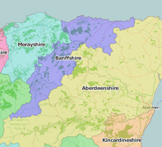
Many later endeavours make up for Speed’s lack of detail: Banff fell into the remit of the Aberdeen-based Spalding Club (1839 – 1869) “established for the publication of the historical, genealogical, topographical and literary remains of the North-eastern counties of Scotland” and was included in Joseph Robertson’s 4-volume Illustrations of the topography and antiquities of the shires of Aberdeen and Banff (1847-1869)
An earlier account of the county is given in the General view of the agriculture of the county of Banff, with observations on the means of its improvement By James Donaldson, factor for the Honourable William Ramsay Maule of Panmure. Drawn up for the consideration of the Board of Agriculture and Internal Improvement. (1794). This was part of a national project running from 1793 to 1822 producing surveys of the agriculture of each county intended to encourage improvements in farming. Berwick was covered by Alexander Lowe, General view of the agriculture of the county of Berwick, with observations on the means of its improvement (1794). Digital copies are available via the Hathi Trust. The Britain-wide project was led by the president of the Board of Agriculture, Sir John Sinclair (1754-1835). It was modelled on his earlier Enlightenment project to gather information parish-by-parish – all 936 of them – to create The Statistical account of Scotland (21 volumes, 1791-1799), designed by to gather “statistics” which would show “the quantum of happiness in a population”. The University of Edinburgh’s Statistical Accounts of Scotland online resource can provide hours of happy browsing.
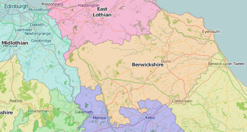
Berwickshire’s less bucolic history is described by Berwickshire resident, George Ridpath (1716-1772), in his history of the borders up to the Tudor period, a work edited and published in 1776 by his brother Philip as, The border-history of England and Scotland, from the earliest times to the union of he two crowns. Border wars erupted again during the English Civil War, despite a short-lived truce with Scotland (1639) known as the pacification of Berwick: His Majesties declaration, concerning his proceedings with his subjects of Scotland, since the pacification in the camp neere Berwick (1640).
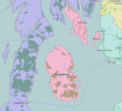
There are storms of a different kind in the work of James Kay, a 19th-century resident of Bute, and the author of The meteorology of Rothesay, Island of Bute, for the year 1889: being an abstract of observations made at Barone Cottage, Rothesay (Rothesay: Harvey & Co., printers, 1890).
Special Collections classmarks:
Banff
- Joseph Robertson (1810-1866) Illustrations of the topography and antiquities of the shires of Aberdeen and Banff (4 volumes, 1847-1869: SPEC Ryl.U.6.20-23)
- James Donaldson, General view of the agriculture of the county of Banff, with observations on the means of its improvement By James Donaldson, factor for the Honourable William Ramsay Maule of Panmure. Drawn up for the consideration of the Board of Agriculture and Internal Improvement (1794: SPEC Y79.3.290.5)
Berwick
- Alexander Lowe, General view of the agriculture of the county of Berwick, with observations on the means of its improvement (1794: SPEC Y79.3.290.5)
- George Ridpath (1716?-1772) The border-history of England and Scotland, from the earliest times to the union of the two crowns (Printed by Henry Richardson, Berwick. 1810: SPEC Y81.5.13)
- Charles I (1600-1649), His Majesties declaration, concerning his proceedings with his subjects of Scotland, since the pacification in the camp neere Berwick (London: Printed by R. Young, His Majesties printer for Scotland, and R. Badger, printer to the prince His Highnesse, M.DC.XL.[1640]: SPEC Knowsley pamphlet 443.1)
Bute
- James Kay, The meteorology of Rothesay, Island of Bute, for the year 1889: being an abstract of observations made at Barone Cottage, Rothesay (Rothesay: Harvey & Co., printers, 1890: SPEC P.2.18(12)/A)
Statistical account of Scotland (21 volumes, 1791-1799: SPEC Y79.3.1049 – 1069)
General views (quarto series, 1794-1798: SPEC Y79.3.290-291; octavo series, 1805-1814: SPEC Y81.3.511-529).