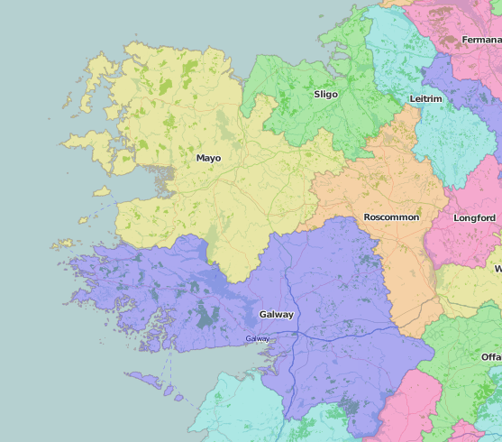
Stretching from Cumberland to the Channel Isles, and from Cambridgeshire to Cornwall via Cheshire, this collection of County Lives includes Connaught (Connacht), the first of the four historic provinces of Ireland, encompassing the counties of Clare, Galway, Leitrim, Mayo, Roscommon, and Sligo.
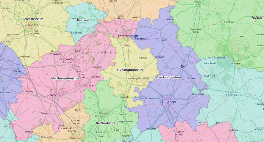
John Speed’s map of Cambridgeshire has a blank shield in its border of the arms of colleges of Cambridge University: Emmanuel (1584) is there, but not Sidney Sussex (1594), although the map itself is dated 1610. A sign of the Theatre’s long publication process. A very different map of the county in the first (quarto) series of the General Views of the Board of Agriculture (1794) was one of few praised by William Marshall in his Review and abstracts of the series (1808-1817). Marshall commended the Land use and soil map “not merely of Cambridgeshire but properly including the Fen Lands of the counties of Northampton, Huntingdon, Norfolk and Suffolk”. The fen-lands are picturesquely depicted in Robert Farren’s etchings of The fen-lands of Cambridgeshire(1883) owned by private press book collector William Noble. The New Cambridge guide (1815) offers a more exhaustive, not to say exhausting, approach: A view of the University, town, & county of Cambridge: containing correct & comprehensive descriptions of the public buildings, colleges, churches, curiosities, &c. &c. &c. A concise account of the different orders, degrees, ceremonies, and offices in the University; a list of the present University officers; and a variety of new and interesting matter.
Speed’s Channel Isles are part of a map divided into four: Holy Island and the Farne Islands off the coast of Northumberland to the left, leaving space on the right for ‘Garnsey’ (plus Sark, Herm and Iethou) and ‘Jarsey’, but omitting altogether Alderney and Burhou. He nevertheless describes the whole as “delightsome and healthful”. The language, which Speed calls, “French, though after a corrupt manner” retained sufficient identity into the 20th century to be collected for the library of the Gypsy Lore Society: Folksongs of Great Britain and Ireland: a guidebook to the living tradition of folksinging in the British Isles and Ireland, containing 360 folksongs from field recordings sung in English, Lowland Scots, Scottish Gaelic, Irish Gaelic and Manx Gaelic, Welsh, Cornish, Channel Islands French, Romany and Tinkers’ cants, etc.(1975).
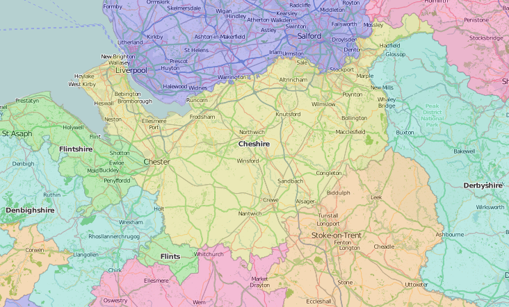
Cheshire is described by Speed as “wholesome for life”, although he admits it can be cold, and that he might be biased, as a Cheshire native, by “affection to my natural producer”. Special Collections shows a similar bias in the quantity of Cheshire items it holds, especially in the collection of Thomas Glazebrook Rylands, a former President of the Historic Society of Lancashire and Cheshire. Rylands’s books on Cheshire include Egerton Leigh’s opinionated Glossary of words used in the dialect of Cheshire (1877), for example:

Papers read to the Historic Society, such as Charles Potter’s Observations on the geology and archaeology of the Cheshire shore (1876) can be read now in the digitized Transactions of the Historic Society. And Cheshire historians can also turn to The history of the county palatine and city of Chester (1819) by George Ormerod (1785-1873), based on more than a decade’s work, and reckoned to be the best of the county histories.
Another Cheshire collector, Robert George Morton, could see the “Cheshire shore” from his house in West Kirby, but would have missed the 1936 school trip to the Mersey side of the Wirral: New Brighton, Wallasey, Cheshire: seaside, countryside, industry, shipping: a visit by boys of the Wordsworth Senior School, Stoke Newington, June 12th-June 26th, 1936. Local schoolchildren leaving their mark on the Children’s books include Miss Rowlinson, of Laburnham School in Lymm, with her school prize copy of Stories for little readers (1849), and the probably not so prize-winning Chas. Lloyd, who inscribed his geography textbook, “Heswall, Cheshier”.
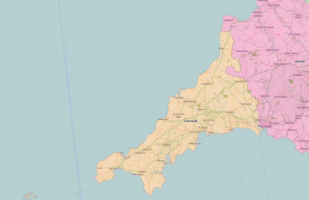
Tudor Cornwall was one of the most heavily industrialized counties, and still had native Cornish speakers, but probably not the sea monsters depicted on Speed’s map in “her environing seas”. The county’s mining history depended on its rich geology, as explained in Thomas Hogg’s Manual of mineralogy, in which is shown how much Cornwall contributed to the illustration of the science (1828). Rylands’s collection has Cornish history too, pre-dating even Roman Chester, including Antiquities, historical and monumental, of the county of Cornwall. Consisting of several essays on the first inhabitants, druid-superstition, customs, and remains of the most remote antiquity in Britain, and the British isles, exemplified and proved by monuments now extant in Cornwall and the Scilly Islands, with a vocabulary of the Cornu-British language (1769). Written by William Borlase, Rector of Lugdvan, near Penzance, it is particularly good on Druids.
John Speed’s Cumberland map describes the ‘Picts Wall’ as “the uttermost Limits of the Romane Empyre”; no doubt the Roman legions would have agreed with his comments on the county’s chilliness. The tourist hordes swarming to Hadrian’s Wall in the 19th century had a growing range of guidebooks, such as Thomas West’s Guide to the Lakes, in Cumberland, Westmorland, and Lancashire (Kendal, 1821) and the Handbook for Westmorland, Cumberland and the Lakes in John Murray’s series (1869). ‘Hasty pudding’ may not have been their breakfast of choice, despite the enthusiastic comments Arthur Young (1741-1820) made in the margin of his copy of the General View of the agriculture of the county of Cumberland:
It would not be possible to devise a breakfast for a labouring man more palatable, wholesome, invigorating or more easily prepared than hasty pudding made of oatmeal ate along with skim’d milk which obtains universally in the northern counties.
No tourists would be drawn to the western Irish province of Connaught by Speed’s description of the air as “not altogether so pure and clear as in the other provinces of Ireland” on account of the bogs, “both dangerous and full of vaporous and foggy mists”. A detailed 17th-century account of Connaught by Roderic O’Flaherty was published in 1846 as A chorographical description of West or H-Iar Connaught, edited by James Hardiman, who took a dim view of the place. He hoped that the publication might, by making the area better known, “eventually lead to the moral and social improvement of its population” and show what might be written about other places when “even so much could be elicited from so unpromising a locality as H-Iar Connaught”. Or you could read Eneas MacDonnell’s cheerier Speech delivered … at a meeting of the inhabitants of Mayo, held, July 16th, 1826: wherein the ancient fame of Ireland, and her liberal contributions to the diffusion of religion, science and civilization throughout Great Britain and other nations, are, in part, illustrated.
Special Collections copies of works cited:
Cambridgeshire
- Robert Farren,The fen-lands of Cambridgeshire drawn and etched by R. Farren (Cambridge, 1883: SPEC Noble D.01.02/oversize)
- The New Cambridge guide (Cambridge, 1815: SPEC Y81.2.9)
Channel Isles
- Peter Kennedy (editor), assisted by Allison Whyte; musical transcriptions and guitar chords by Raymond Parfrey, Folksongs of Great Britain and Ireland: a guidebook to the living tradition of folksinging in the British Isles and Ireland, containing 360 folksongs from field recordings sung in English, Lowland Scots, Scottish Gaelic, Irish Gaelic and Manx Gaelic, Welsh, Cornish, Channel Islands French, Romany and Tinkers’ cants, etc (1975: SPEC Scott Macfie F.1.31)
Cheshire
- Egerton Leigh (1815-1876), A glossary of words used in the dialect of Cheshire founded on a similar attempt by Roger Wilbraham contributed to the Society of Antiquaries in 1817 (1877: SPEC Ryl.B.3.19)
- George Ormerod (1785-1873), The history of the county palatine and city of Chester (1819: SPEC Ryl.B.1.5)
- New Brighton, Wallasey, Cheshire: seaside, countryside, industry, shipping: a visit by boys of the Wordsworth Senior School, Stoke Newington, June 12th-June 26th, 1936 (Ilford: Gregg School, 1936: CHILDREN BVII:47.1)
- Stories for little readers: I. The sister; II. A lion in the way; III. The whip-poor-will, &c. &c. (1849: JUV.A981)
- Edward George Hodgkinson, Preliminary geography (1913: JUV.1473)
Cornwall
- William Borlase, Antiquities, historical and monumental, of the county of Cornwall … with a vocabulary of the Cornu-British (1769: SPEC Ryl.B.1.20/oversize)
- Thomas Hogg (1777-1835), A manual of mineralogy, in which is shown how much Cornwall contributed to the illustration of the science (1828: SPEC Y82.3.216)
Cumberland
- Thomas West, A guide to the Lakes, in Cumberland, Westmorland, and Lancashire (Kendal, 1821: SPEC Y82.3.124)
- John Murray (Firm), Handbook for Westmorland, Cumberland and the Lakes (1869: SPEC Y86.3.36)
Connaught
- Roderic O’Flaherty, Roderic (1629-1718), A chorographical description of West or H-Iar Connaught, written A.D. 1684 by Roderic O’Flaherty; edited, from a MS. in the library of Trinity College, Dublin, with notes and illustrations by James Hardiman (1846: SPEC Y84.3.883)
- Eneas MacDonnell (1783-1858), Speech delivered … at a meeting of the inhabitants of Mayo, held, July 16th, 1826: wherein the ancient fame of Ireland, and her liberal contributions to the diffusion of religion, science and civilization throughout Great Britain and other nations, are, in part, illustrated. Dedicated to the Protestant clergy of England and the Catholic clergy of Ireland (1828: SPEC Knowsley pamphlet 555/11)