From the mirror images of Radnorshire and Rutland to the borderlands of Roxburghshire, with Renfrewshire and Ross-shire stretching from coast to coast and up to the Isle of Lewis.
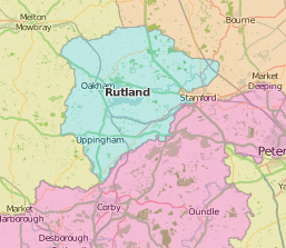
Of all John Speed’s maps, only Holy Island, off Northumberland, at 32 perches to the inch was drawn to a larger scale than Rutland, England’s smallest county. The work of local worthy John Harington (1539/40-1613), the design is balanced by town plans of Oukham (Oakham), and Stanford (Stamford, borrowed from neighbouring Lincolnshire).
John Richard Blakiston (1829-1917) published his Glimpses of Leicestershire and Rutland (1880) in a series of geographical textbooks on a diminishing scale: Glimpses of the globe had sequels Glimpses of the Earth, Glimpses of the British Empire, Glimpses of England, and an introductory Early glimpses. The short-lived Oakham canal (1802-1848) connected Rutland to Leicestershire at Melton Mowbray by water, but gave way to a railway connection passing through to Peterborough. The canal is commemorated, with illustrations by Rigby Graham, in a 1968 work by local author and engineering historian David Tew (1920-2011).
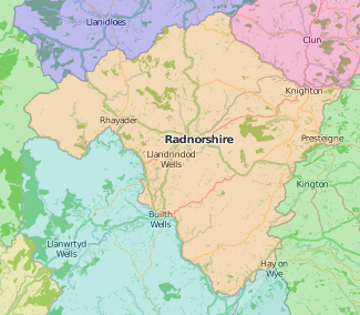
Speed’s comments on the “inaccessible mountains whereof this shire [Radnorshire] is overpressed and burdened” show up his dislike of difficult terrain, although he is complimentary about Presteigne, “for beauteous building the best in this shire” and Radnor, “pleasantly seated under a hill, whereon standeth mounted a strong castle” as shown in his town plan.
Other beauties of the county are described in The Llandrindod guide including the wells of Llandegley and Blaenedwy, with the following rides and drives, embracing the beauties and curiosities, of Radnorshire, to the valley of Cwm Elain … (1825?). It is part of a larger “guide to the watering places of Wales, marine and inland” but Llandrindod would be hard to beat as “the Montpellier of Great Britain”.
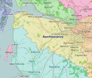
Renfrewshire’s county town of Renfrew was quickly overtaken by Paisley as industry grew in the area, especially weaving, with the famous Paisley shawls and the Paisley pattern named for the town.
The book trade also flourished from the mid-18th century onwards. John Wilson’s survey for The General view of the agriculture of Renfrewshire (1812) was published in Paisley, and the Fraser collection holds many later 19th century publications by the Paisley firm of Gardner, including The harp of Renfrewshire (1872-1873) and William Thom’s Rhymes and recollections of a hand-loom weaver (1880).
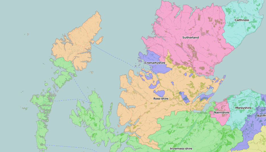
Ross-shire historically included the isle of Lewis in the Outer Hebrides, as well as several bits of Cromartyshire. Robert Williams Buchanan (1841-1901) summed up the remoteness of the Outer Hebridesin his 1871 account of a sailing trip: “to all ordinary people they are less familiar than Cairo, and farther off than Calcutta”. Travelling south to north, he didn’t make it as far as Stornoway. A century earlier, Thomas Pennant (1735-1788) and John Lightfoot (1735-1788) also failed to get to Stornoway, and Robert Heron’s General view of the natural circumstances of those isles … which are distinguished by the common name of Hebudae or Hebrides (1794) is so general it might well be based on the many books he cites, not an actual visit. On the mainland, Robert Fortescue Fox (1858-1940), rheumatologist at the spa hospital, keenly encouraged visitors to ‘Strathpeffer, the mountain spa’ for its therapeutic sulphur waters.
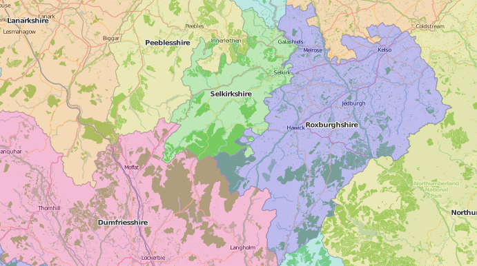
Roxburghshire on the border was famous for the Gypsies of Kirk Yetholm. George Borrow (1803-1881) crossly recounts his visit there in the final chapter of Romano Lavo-Lil: word-book of the Romany or, English Gypsy language (1874): he preferred his own idea of Gypsies, and was disappointed by the actual descendant of 16th century King of the Gypsies John Faa whom he met. The Romani language could still be dug out in 1914, however, as George Watson showed the Hawick Archaeological Society in his Gipsy loan-words in the Roxburghshire vernacular.
Special classmarks of items cited:
Rutland
- John Richard Blakiston, Glimpses of Leicestershire and Rutland (1880): JUV.A742
- David Tew, The Oakham Canal; with a section on topography by Trevor Hickman and Rigby Graham; illustrated by Rigby Graham (1968): SPEC S/Z239.2.B845.T35
Radnorshire
- Thomas Jeffery Llewelyn Richard, The Llandrindod guide, including the wells of Llandegley and Blaenedwy, with the following rides and drives, embracing the beauties and curiosities, of Radnorshire, to the valley of Cwm Elain … (Re-issue of part one of The Cambrian balnea, or a guide to the watering places of Wales, marine and inland, 1825): SPEC Y82.3.289
Renfrewshire
- The Harp of Renfrewshire: a collection of songs and other poetical pieces, many of which are original, accompanied with notes, explanatory, critical, and biographical, and a short essay on the poets of Renfrewshire. Originally published in 1819 (Paisley: Gardner, 1872): SPEC Fraser 1670
- The Harp of Renfrewshire, second series: a collection of songs and other poetical pieces, many of which are original, accompanied with notes, explanatory, critical and biographical (Paisley: Gardner, 1873): SPEC Fraser 1671
- William Thom (1798?-1848), Rhymes and recollections of a hand-loom weaver. Edited, with a biographical sketch, by W. Skinner (Paisley: Gardner, 1880): SPEC Fraser 1660
- John Wilson (1755-1839), General view of the agriculture of Renfrewshire; with observations on the means of its improvement; and an account of its commerce and manufactures. Drawn up for the consideration of the Board of Agriculture, and Internal Improvement (1812): SPEC Y81.3.525
Ross-shire
- Robert Williams Buchanan (1841-1901), The land of Lorne, including the cruise of the Tern to the Outer Hebrides (1871): SPEC Fraser 810-811
- Robert Williams Buchanan (1841-1901), The Hebrid isles: wanderings in the Land of Lorne and the Outer Hebrides. A new edition (1883): SPEC Fraser 812
- John Lightfoot (1735-1788), Flora scotica; or, A systematic arrangement, in the Linnaean method, of the native plants of Scotland and the Hebrides. 2nd editon (1792): SPEC Y79.3.945-946
- Robert Heron (1764-1807), General view of the natural circumstances of those isles … which are distinguished by the common name of Hebudae or Hebrides:- of the … means … employed to … improve them:- and of some other means … proposed (1794): SPEC Y79.3.793
- Robert Fortescue Fox (1858-1940), Strathpeffer, the mountain spa (1892): SPEC P.2.18(09)/A
- Robert Fortescue Fox (1858-1940), The sulphur waters of Great Britain: an examination of their action and uses, with especial reference to Strathpeffer Spa …; read before the 11th International Medical Congress at Rome, 30th March, 1894: SPEC P.2.18(08)/A
Roxburghshire
- George Borrow (1803-1881), Romano Lavo-Lil: word book of the Romany; or English Gypsy language; with many pieces of Gypsy, illustrative of the way of speaking and thinking of the English Gypsies; with specimens of their poetry, and an account of certain Gypsyries or places inhabited by them, and of various things relating to Gypsy life in England (1874): SPEC Scott Macfie E.1.37
- George Watson, ‘Gipsy loan-words in the Roxburghshire vernacular’. Transactions of the Hawick Archaeological Society, 1914: SPEC Scott Macfie F.1.10(12)